I publish lessons online and teach using a blended in person and online approach to open doors for non traditional students who may not otherwise have access to learning earth data science.
EarthDataScience.org Learning Portal
I designed, branded and built the earthdatascience.org learning portal. This website provided anyone with internet, access to the Earth Data Analytics program course materials that I developed.
When I left this position, the portal contained over 300 lessons. It also had a global growing user base of over 200,000 unique visitors a month. and has over 50,000 unique global users visit a month.
> 200,000 Global Monthly Users
Targeted search engine optimization combined with providing maintained and tested tutorials on in-demand skills lead to global website reach.
Science + Data Science At Your Fingertips
There is a booming workforce demand for people that have both science and data science knowledge and skills. This intersection is what defines the earthdatascience.org portal.
> 300 Lessons (and Growing!)
Lesson content was focused on earth and environmental data science skills. These skills included working with a suite of data types including spatial, tabular, time series and remote sensing.
Online Open Education - Self Paced Earth Data Science Courses
I publish earth data science course and workshop materials on the earthdatascience.org portal to support open education. Many of the materials are developed collaboratively with colleagues, my staff and sometimes even students. The Earth Analytics courses below were ones that I designed and built at the onset of creating the Earth Analytics Education Initiative at Earth Lab, University of Colorado - Boulder.

Intermediate Earth Data Science Textbook
This textbook is used alongside the Earth Analytics Python course. It contains over 100 lessons that teach Python lessons on topics including remote sensing imagery, using APIs to get data, working with social media data and using lidar to understand vegetation health.
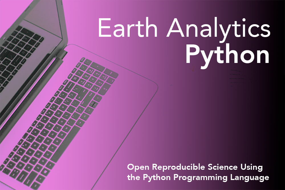
Earth Analytics Python Course
There is a large workforce demand for Python programming skills given it is one of the most commonly used programming languages. In the course you will find the readings and assignments associated with the course which covers Python lessons on earth and environmental data science topics. The course is the second of 3 in the Earth Analytics Professional Graduate Certificate.
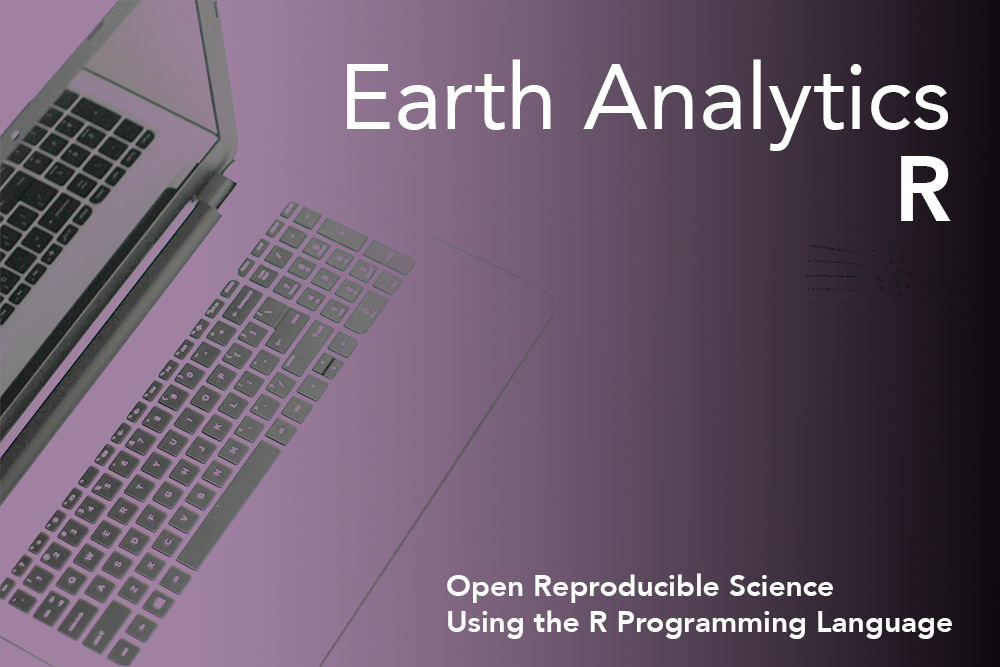
Earth Analytics R Open Education Coding Course
I developed Earth Analytics using the R scientific programming language course during my first year at CU-Boulder. It was a test to see what happened when I placed an entire course online. After optimizing the course for search engine visibility (SEO) the course was discovered and people began working through it.
Community Collaboration: Data Carpentry
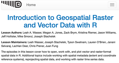
Data Carpentry Geospatial Lessons
I secured funding through NSF to run a hackathon kickoff to develop a new Carpentries (Data Carpentry) open geospatial data in R 2-day workshop. These lessons utilized data from the National Ecological Observatory Network (NEON) sites. After several years of development at NEON, the lessons are now in the hands of an active and engaged Carpentry community to be taught by instructors across the globe and have been formally published by the Carpentries.
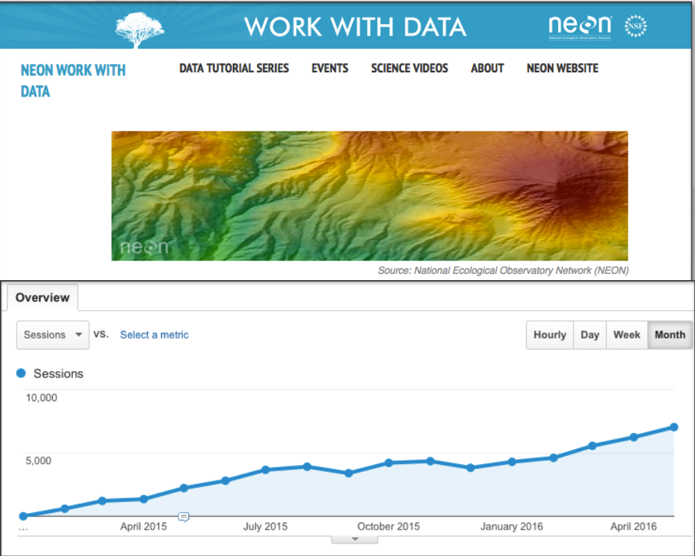
NEON Data Skills
At the National Ecological Observatory Network (NEON) I built the NEON Data Skills program. NEON data skills scaled training that helps the community work with and use NEON data using an online, open education learning portal. When I left NEON, the data skills portal had 12-16,000 unique global users a month and was quickly growing. The portal has since been merged with larger neonscience website.